Interesting
City Roads
A minimalist map experiment that draws every road in a city at once, turning infrastructure into a surprisingly elegant portrait of urban form.
VISIT WEBSITE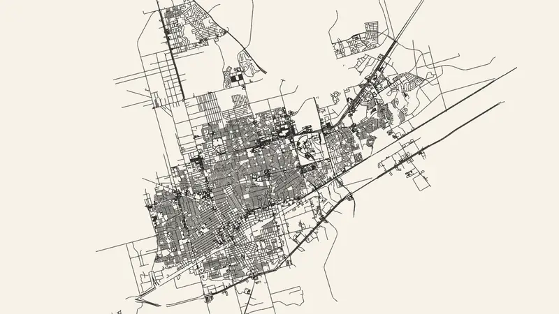
LIVE!
FEATURES
Maps
Roads
Cities
Visualization
Urbanism
QUICK INFO
Category: Interesting
Status: Live & Working
Cost: Free to Use
OUR RATING
ABSOLUTELY AMAZING!
WHY WE'RE OBSESSED
It strips away labels, colors, and everything else until the road network itself becomes the whole subject.
The result feels halfway between data visualization and generative drawing. Different cities immediately reveal different personalities.
Web experiments that make mundane infrastructure look beautiful with almost no interface are hard to dislike.
★ MORE INTERESTING WEBSITES