Useful
RayonMaps
A site analysis and CAD export tool that pulls OpenStreetMap data for any location and turns it into usable geometry in just a few steps.
VISIT WEBSITE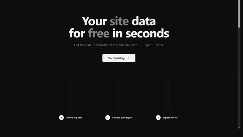
LIVE!
FEATURES
Maps
CAD
Architecture
Urbanism
OpenStreetMap
QUICK INFO
Category: Useful
Status: Live & Working
Cost: Free to Use
OUR RATING
ABSOLUTELY AMAZING!
WHY WE'RE OBSESSED
It takes a task that is usually annoying and fragmented and compresses it into a very direct workflow: pick an area, choose layers, export to CAD.
The practical value is obvious for architects, planners, students, and anyone who has ever had to wrangle site context before doing real design work.
Tools that make open geographic data immediately useful tend to punch above their weight, and this one does it with very little ceremony.
★ MORE USEFUL WEBSITES